Satellite data show how on 4 August 2026 a roughly 76 square-kilometre section of the floating ice tongue of the Petermann Glacier in northwest Greenland broke off. The event was visible in radar images from the European Copernicus satellite Sentinel-1. It is the largest loss of floating ice at this glacier since 2012 and is considered one of the most significant calvings in the Arctic since 2020.
Background
The Petermann Glacier terminates in a long ice tongue that is partly afloat on the sea. Such floating tongues form when ice flowing from the interior reaches the fjord and rests on the water. Large calvings are abrupt, but they result from longer-term processes such as thinning caused by warmer seawater, the progression of fractures, and structural weakening from surface melt.
Drivers and processes
Calvings occur when existing cracks and weak zones mechanically fail. The risk increases when the ice tongue thins or when warmer water enters the fjord and attacks its underside. The Arctic has been warming markedly faster than the global average (Arctic amplification) for decades, which alters oceanic conditions and can undermine the stability of these tongues.
Why this matters
The loss of floating ice does not directly raise sea level. However, it can reduce the buttressing effect of the ice tongue. If that resistance is lost, the flow of land-based ice toward the coast can accelerate — with long-term consequences for global sea level.
Regional impacts
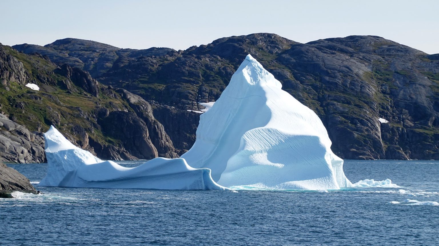
Large calvings release icebergs that can affect shipping routes and local ecosystems. In narrow fjord systems, big ice pieces often change sea-ice conditions and complicate navigation.
Observing from space
Sentinel-1 uses radar and provides reliable imagery regardless of light or cloud conditions. This allows calvings to be tracked almost in real time, fractures to be mapped, and ice flow rates to be determined. The data complement in situ measurements and oceanographic observations in the fjord to better understand submarine melting, changes in grounding line position and the response of the inland glacier.
Greenland's role in sea level
Greenland has been losing mass for years through enhanced surface melt and faster glacier discharge. Changes are particularly pronounced at the ice-sheet margins where ice meets seawater. Visible calvings like the one at Petermann are part of a longer-term process with global relevance.
Outlook
Continuous satellite monitoring remains central for detecting trends, improving models and assessing risks. For coastal communities in Greenland, adapting to changing ice and weather conditions is becoming increasingly important. The better the processes at glacier fronts are understood, the more reliably future contributions from Greenland to sea level can be projected and the more effectively adaptation and mitigation decisions can be supported.