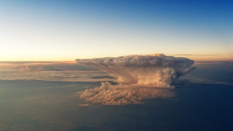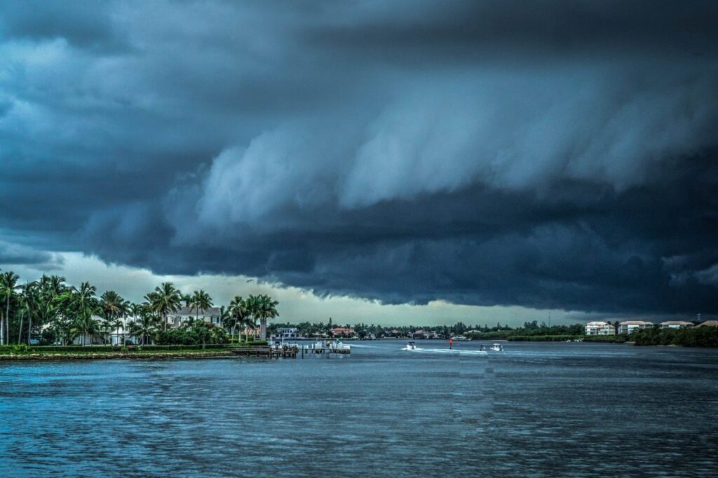
Flash floods often strike with little long notice and can overwhelm drainage channels, roads and basements within a short time. Forecasting remains challenging, but new data sources, coupled models and understandable warnings can buy crucial minutes.
What are flash floods?
Flash floods occur when very intense, locally confined precipitation falls onto narrow streams, steep slopes or impervious urban surfaces. Within minutes, large volumes of water can surge and flood valleys, streets or underpasses. Unlike large-scale river floods, flash floods act locally and abruptly — and that suddenness is what makes them so dangerous.
Why forecasting is tricky
The thunderstorms that trigger flash floods often span only a few kilometers and change rapidly. Modern radar provides high-resolution images of rainfall intensity. Translating that into precise predictions of runoff paths and flood extents requires combining meteorology, hydrology and terrain data. Small shifts in storm position, model errors or uncertainties in soil moisture can determine whether a place just gets wet or ends up underwater.
New instruments and models
Researchers and weather services are pursuing three main levers:
– better observations through dual-polarization radar, satellites and dense sensor networks, – more sophisticated coupled models that link rainfall with runoff in streams, streets and hollows, – probabilistic forecasts using ensembles rather than a single deterministic prediction, to make likelihoods visible.
Additional reports from the public about flooding can close gaps in sensor networks and complement the situational picture in real time.
Climate change increases the risk
Warmer air can hold more water vapor, so intense showers often become heavier. In many regions extreme precipitation events are becoming more frequent — increasing the conditions that lead to flash floods. The risk is amplified by denser development and more impervious surfaces: where water once infiltrated the ground, it now rushes faster into drains and waterways.
Warnings, reach and lead time
For flash floods, warning lead times are often only minutes to a few hours. That time is decisive for evacuations, securing valuables and keeping access routes clear. Modern systems distribute alerts via apps, SMS and broadcast media. Targeted messaging is crucial: older people, those with mobility impairments or residents of remote valleys need different channels than digitally connected urban dwellers.
Making uncertainty understandable
Absolute statements are seldom possible; probabilities are more realistic. Phrases such as “high likelihood of dangerous flooding in the next two hours” are more helpful than technical detail. Maps showing potential inundation areas support local decisions — for example road closures or the deployment of emergency teams.
Inequality and protection gaps
Vulnerability depends on infrastructure, insurance coverage, information and location. Low-income neighborhoods are often hit harder — among other reasons because of lower investment in drainage infrastructure and denser construction. Early-warning technology alone is not enough. Landscape management, floodplain restoration, strategic removal of impervious surfaces and socially equitable evacuation plans are also necessary.
What municipalities and households can do
Municipalities should update hazard maps, identify choke points in drainage, mark evacuation routes and rehearse responses regularly. Households can create emergency plans, store important documents in waterproof containers, check electrical installations and keep portable barriers on hand. Insurance against natural-hazard damage reduces financial impacts — but does not replace preparedness.
Outlook
Technical progress increases the precision of flash-flood forecasts and creates valuable lead time. At the same time, climate trends and land-use change are increasing the intensity and frequency of extreme showers in many places. Effective protection arises only from the interplay of research, infrastructure, local planning and clear communication.
NOAA
The original source allows readers to verify the source material and subsequent updates.
Open source →